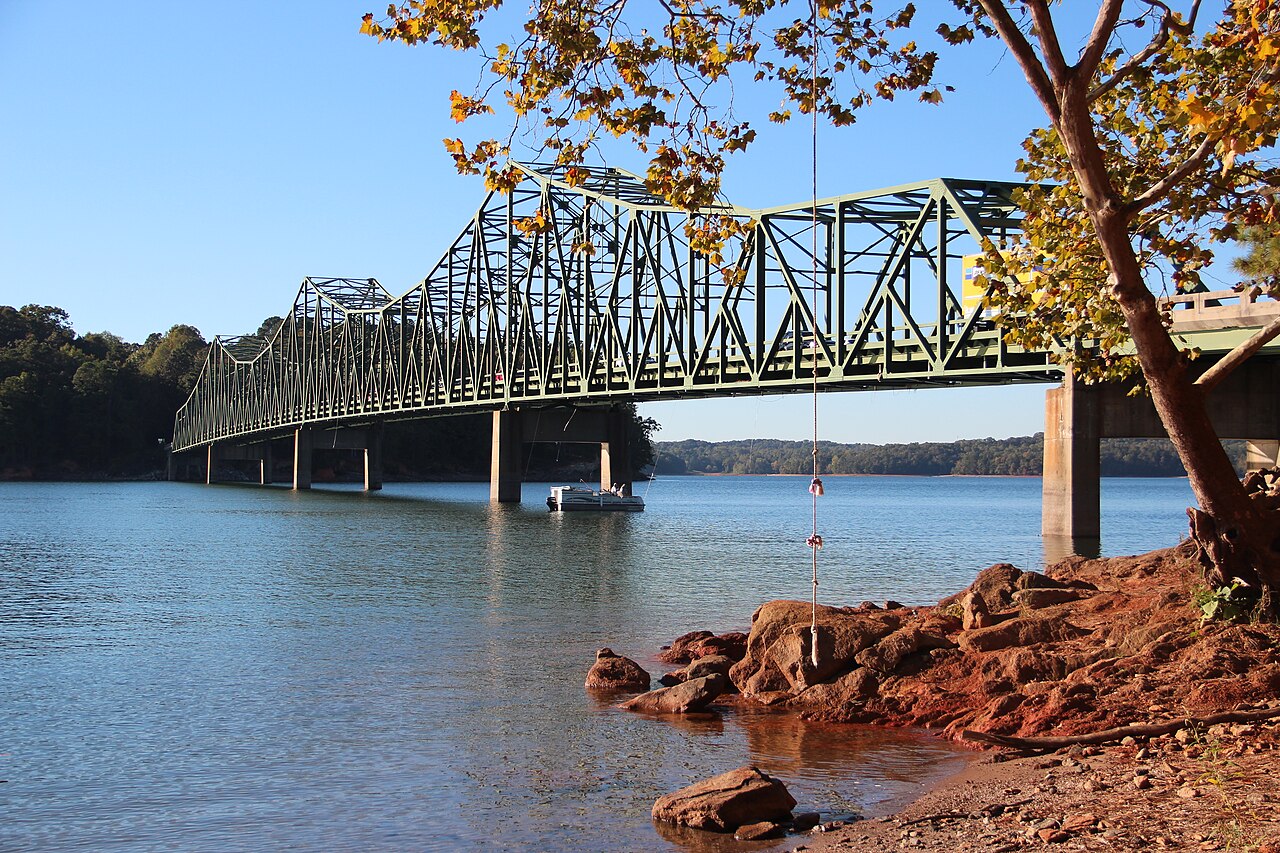
Why is Lake Lanier so low?
Drought. Dry weather spread across Georgia this fall. In early October the U.S. Drought Monitor counted 99.99 percent of the state as dry to some degree, and the lake had dropped two and a half feet since June 1 (WGTJ, Oct 1). By October 29, Hall County was split between abnormally, moderately and severely dry, and the lake was nearing eight feet below normal (WGTJ, Oct 29).
It is not a planned drawdown. The Corps lowers its target by just one foot each winter, from 1,071 to 1,070 ft on December 1. Almost all of the rest is rain that hasn’t fallen while water still goes downstream for cities and the river. When it should come back is above, and which ramps still work today.
What full pool means
The Army Corps of Engineers manages Lake Lanier to a target level called full pool: 1,071 feet above sea level from May through November, and one foot lower, 1,070 feet, from December through April (LakeLanier.com). When locals say the lake is “two feet down,” they mean two feet below that target.
A foot sounds small, but across about 38,000 acres of water it moves shorelines, beaches and the end of every boat ramp.
How far it can swing
The record low came during the drought of 2007, when the lake fell to 1,050.79 feet on December 26, about 20 feet below full pool (LakeLanier.com). The record high is 1,077.15 feet, set on April 14, 1964 (FOX 5 Atlanta).
Low years hit the whole lake economy. In 2008, with the lake far below full, 6.6 million people visited, a million fewer than in 2005, the last year it reached full pool (AccessWDUN, March 2009).
What low water changes
- Ramps. Concrete ramps can stop short of the water, and gravel or natural launches can become impassable (Boat Ramp Guide).
- Hazards. When the lake was filled in the 1950s, crews felled the treetops and left tall stumps in some areas not far below the surface (Wikipedia). Old roads surface as the water drops.
- The red clay ring. The band of bare Georgia clay around the shoreline is the quickest way to see how far below full pool the lake sits.
Where the number comes from
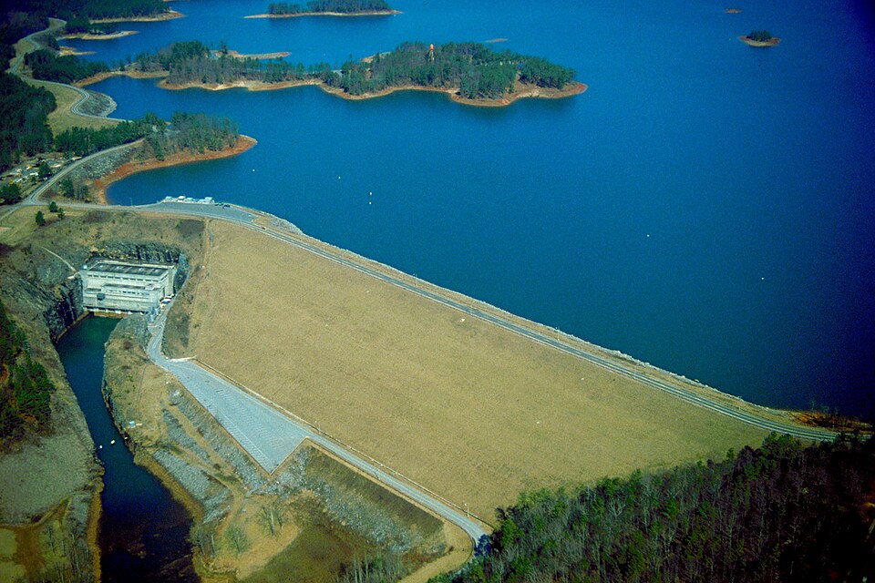

The Corps reports the official level at Buford Dam. The U.S. Geological Survey’s gauge 02334400, Lake Sidney Lanier near Buford, records the reservoir elevation continuously, and that reading is what our live panel shows.
USGS is moving its data to a new system this winter and switching off its old feed on February 22, 2027 (USGS). Our panel already reads from the new one.
Check it before you go
See the live lake level and weather alerts, or sign up and we’ll tell you when the level moves enough to matter.